


London NW - Sheet 160
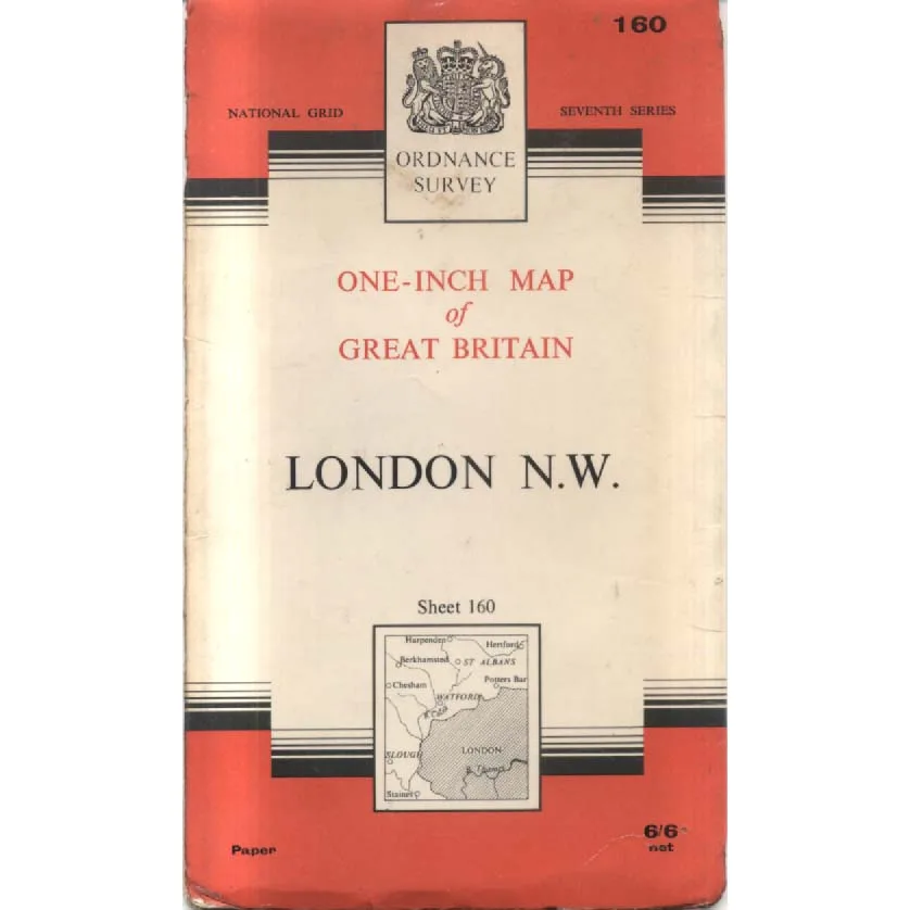
Publisher: Ordnance Survey
Format: Paperback
ISBN: none
London N.W. – Sheet 160 (1963) – Ordnance Survey
Ordnance Survey | Seventh Series One-Inch Map | ISBN: None
Condition: Good | Sold by Crappy Old Books
London. A city that has been expanding, rebuilding, demolishing and generally interfering with its own geography for the best part of two thousand years. Just when somebody becomes familiar with a particular road, a planner decides it would make an excellent dual carriageway, a property developer discovers an attractive field, or an entire neighbourhood is transformed beyond recognition in the name of progress.
Fortunately, Ordnance Survey was there to record what everything looked like before somebody changed it.
Welcome to London N.W. – Sheet 160, a splendid 1963 Seventh Series One-Inch Map of Great Britain, capturing north-west London and its surrounding countryside at a particularly fascinating moment in the capital’s history.
The map covers an area stretching into parts of Hertfordshire and Buckinghamshire, encompassing places such as Harpenden, Hertford, Berkhamsted, Chesham, Potters Bar and Slough, alongside the great north-western approaches to London.
In 1963, Britain was entering the Swinging Sixties, the Beatles were becoming a national sensation, Harold Macmillan was approaching the end of his premiership, and the country’s road network was undergoing a transformation that would eventually make traditional motoring maps look like historical documents.
Which, rather conveniently, is precisely what this one has become.
The M1 motorway had opened only a few years earlier, suburban development was accelerating, and former villages were steadily being absorbed into the expanding metropolitan landscape. Areas that had once consisted of farmland, country lanes and modest settlements were increasingly attracting housing estates, industrial developments and roads designed to accommodate the growing number of motorists.
For anyone interested in London’s changing geography, this map offers a fascinating opportunity to explore the landscape before more than sixty years of subsequent development altered its appearance.
The one-inch-to-one-mile scale provides a wonderfully readable overview of the region, showing roads, railways, settlements, woodland and geographical features with the precision that made Ordnance Survey the trusted companion of generations of travellers.
Its distinctive red, cream and black cover, complete with the royal coat of arms and original 6/6 net price, is a delightful reminder of an era when maps were handsome printed objects rather than electronic images that disappear the moment your telephone battery expires.
Six shillings and sixpence for a detailed map of a substantial portion of southern England. An excellent investment, particularly considering that the price of navigating modern London can involve considerably more than that simply in parking charges.
This 1963 Ordnance Survey Sheet 160, offered in Good condition by Crappy Old Books, is an appealing acquisition for collectors of vintage cartography, London historians, genealogists and anyone interested in how the capital’s sprawling suburbs and surrounding counties have evolved.
A wonderfully nostalgic geographical snapshot of Britain on the brink of enormous social and physical change.
And a reminder that there was once a time when finding your way around north-west London involved a paper map, a decent sense of direction and occasionally stopping to ask a complete stranger for assistance.
Who would invariably tell you that you should have turned left about three miles ago.
Keep browsing: See more Maps books Other books by Ordnance Survey
